Portland – Our Home
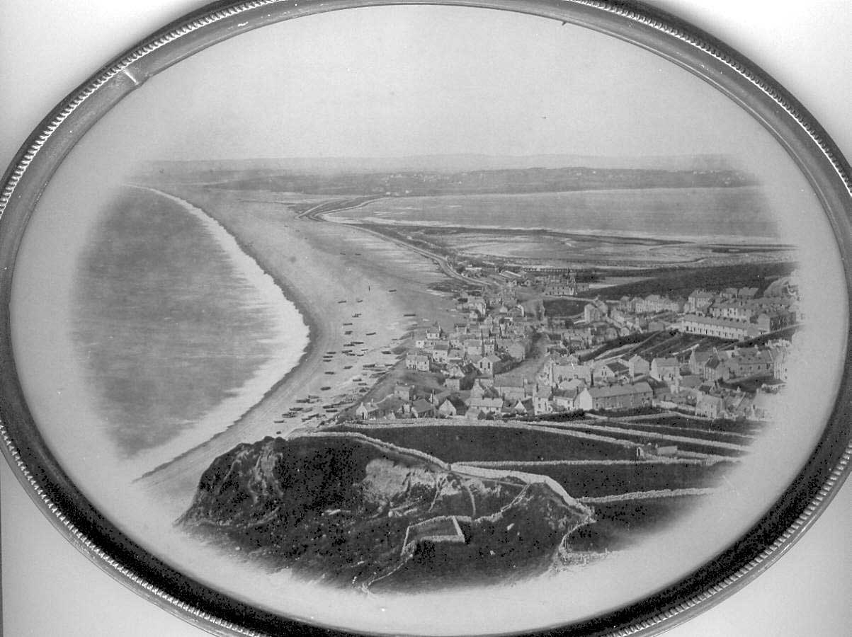
The Isle of Portland in Dorset, England, is not strictly an island but a solid block of limestone extending into the English Channel with the Bill at its seaward extremity. It lies roughly north and south, is about 4 miles long, no more than 2 miles wide and with an area of less than 5 square miles.
What connects it to the mainland is Chesil Beach; a massive ridge of pebbles stretching out to the west from Portland to West Bay. Between Chesil Beach and the mainland lies a narrow strip of water known as The Fleet. Prior to the building of a bridge across this in 1839, the only way on and off Portland was by boat from the sea, or by means of the ferry at Wyke Regis. This crossing of the mouth of the Fleet was often difficult and dangerous due to the fast flowing currents.
The seas around Portland have always been perilous with many ships wrecked and hundreds of lives lost. Deadmans (West) Bay was aptly named. These losses continued when sail gave way to steam. Many also, and part of the folklore of the Island, are the tales of smuggling and the looting of vessels stranded on the shore. There are tales too of heroism of Islanders in succoring stricken vessels and those aboard.
Portland is famed for its stone. Used from Roman times locally it was taken to London as early as 1347 for use in the Royal Palace of Westminster and used extensively in the rebuilding of the City of London after the Great Fire of 1666.
In the early days of which we write most men worked in the quarries, a number fished and others worked the land. In 1715 the population was said to be about 750, by 1740 it had grown to around 2,000, living in the five little villages of, Chiswell (100 houses), Fortuneswell (27), Easton (64), Weston (15) and Southwell (27).